Software Description:
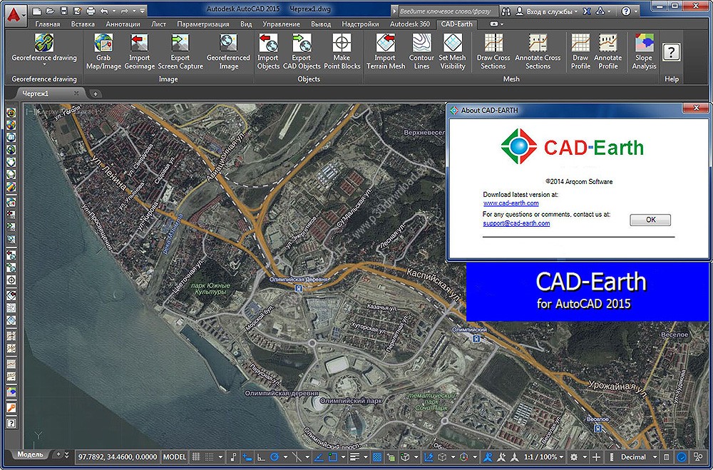
Arqcom, a software publisher, has relesed new version ofCAD-Earth is designed to easily import/exportimages, objects and terrain meshes between Google Earth and majorCAD programs.Added option to export text and mtext objects toGoogle Earth as placemark tags.
Added random four letter suffix to image filenames to avoid nameduplication when copying the contents of the Images folder toanother computer.
Preview position of selected drawing entities in amap
Ability to preview position of selected drawing entities in a mapwhen selecting a coordinate system to georeference a drawing.Drawing entities can be moved, scaled or rotated in the map untilthey match the site.
Process images up to 10x faster
Process images up to 10x faster from different providers (Google,Bing, Yahoo, Ovi) in satellite, map or hybrid image mode in normal,medium, high or highest resolution.
Map Control for drawing entities
New map control where you can preview drawing entities in the realworld. You can move, scale and rotate reference entities in realtime until they match the exact location.
Commands to georeference a drawing
Avoid misplaced images or objects using new commands togeoreference a drawing by locating entities in a map or selectingtwo points and typing their latitude/longitude coordinates.
Optimized “import terrain mesh” command
The command to import terrain mesh from Google Earth has beengreatly optimized for speed and performance.
Insert georeferenced images
If you have image files with the corresponding world filecontaining spatial data information you can accurately place themin the drawing automatically applying XY scale and translationtransformations.
Get contour lines, profiles and sections from GoogleEarth
You can create a terrain configuration mesh inside an existingclosed polyline or along a polyline path calculating pointelevations from Google Earth™. By specifying the origin point,rotation angle and distance between rows and columns, the meshdensity and precision can be adjusted. The resulting mesh can beprocessed to obtain contour lines, dynamic profile and sectiondrawings, complete with annotations.
Export CAD screenshots to Google Earth
Users can export CAD drawings to Google Earth™ as image overlays.Those image captures can be in full color, grayscale or B&W,and are compatible as major image formats (BMP, JPEG, TIFF, PNG,GIF). Background color can be completely transparent or customizedto your desired color. Screenshots can be also taken in sections toincrease the quality of the final image resolution.
Installer Size: 158.17 MB
Download Links > Arqcom CAD-Earth v4.1.9 + Crack
